
The dilapidation survey records the current condition of a property before starting any kind of construction or development work. It identifies all the structural defects that are present in the property prior to starting any major work.
Registered Building Inspectors who also do independent property inspections conduct the dilapidation survey. Their extensive knowledge, as well as experience of different construction types, enable them to record the parts of the property that are at higher risk of damage.
The buildings that are inspected in the dilapidation survey majorly include landscape areas, commercial & residential buildings, and municipal infrastructure.
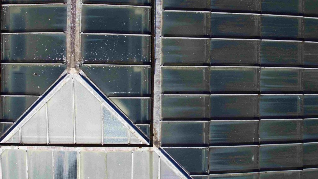
All the internal, as well as external walls and floor cracks including ceiling cracks, floor & wall tiling, retaining walls, external roofs, masonry fences, roadways, and channeling, are recorded in the dilapidation survey.
The depth of the dilapidation report entirely depends on the size of the project under inspection. Projects having large infrastructures like tunnels, pipelines, roads usually have a dilapidation report consisting of thousands of properties.

Building construction, infrastructure projects, road works, high-end development, and demolitions can sometimes lead to defects in the adjoining structure if proper precautions are not undertaken. This resulting damage creates situations where it becomes difficult to prove how it occurred and who is responsible for it.
The dilapidation report protects the property owner as well as the builder. It includes all the potential disputes regarding the condition of the property to avoid any inconvenience in the event if the property suffers any damage subsequent to nearby work.
The traditional methods of property inspection have several challenges associated with them. These methods involve high cost, a long time, and great risk. That is why construction companies are now looking for advanced methods to improve the quality and ease of their survey.
Drone-based inspections have come forward as a new paradigm in the construction and development industry because they have significantly improved the efficiency and data acquisition quality parallel to increasing speed as well as safety.
Drones are being used to inspect a wide variety of assets like aerial photography, surveying, deliveries, and asset inspection, etc. They produce detailed and accurate inspection data and minimize the mistakes that generate human errors.
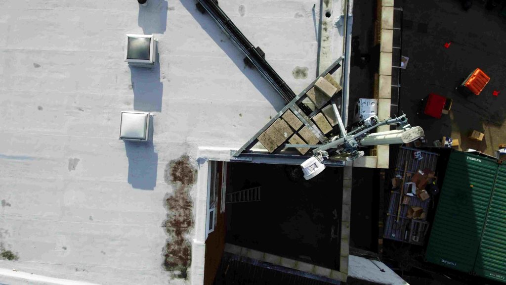
The advanced technology in drones can easily navigate close structures for capturing minute details. They can take high-resolution images that clearly show damage, cracks, misplaced wires, and other defects at angles that humans cannot see. This allows inspection teams to collect more detailed and comprehensive data.
Drones make it easy to inspect tall and complex buildings such as pipelines, oil refineries, and flare stakes, etc. They can reach hard-to-reach areas where humans cannot reach. Drones eliminate the need for physically accessing dangerous locations where height, wind, and weather can lead to serious accidents as well as health risks.
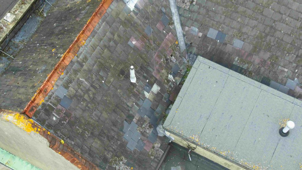
Drones hold the ability to inspect high or low altitudes. They come in several different sizes offering a wide variety to suit the right tools according to inspection needs. This is highly useful for rooftop inspections and building developers.
Drones can capture images, make videos, produce thermal images, transmit data and can perform other advanced functions that enable them to collect and share the information which may take several months using conventional methods. Furthermore, you can easily share all the standard reports and analytical data across different sectors. Different industries can customize the information in different ways for interpreting and sharing relevant data.
Drones reduce the cost and time required to access towers, use aerial lifts, erect ladders, set up stages, and other heavy tools. In addition, they can perform in-depth analysis and detailed surveys without even demanding humans to be present at the location physically. Drones can cover more area in less time thus saving both time and money.
Using drones for performing a dilapidation survey offers many benefits that are less risky, less expensive, and less time-consuming. Thus, drones are gradually replacing the traditional methods of conducting surveys that are more likely to produce inaccurate data and human errors.
If you want to know more about this topic, do let us know in the comments. Besides that, if you have any queries, you may contact Heli Drone Surveys.
