360° videos and images, are a great way for developers and surveyors to show their clients the location/site from every angle, using additional tools you can ad labels and notes for reference.
We can capture data from any site and using post production software we turn the collected images from drones into point clouds, orthomosaics and 3D models.
3D PHOTOGRAMMETRY
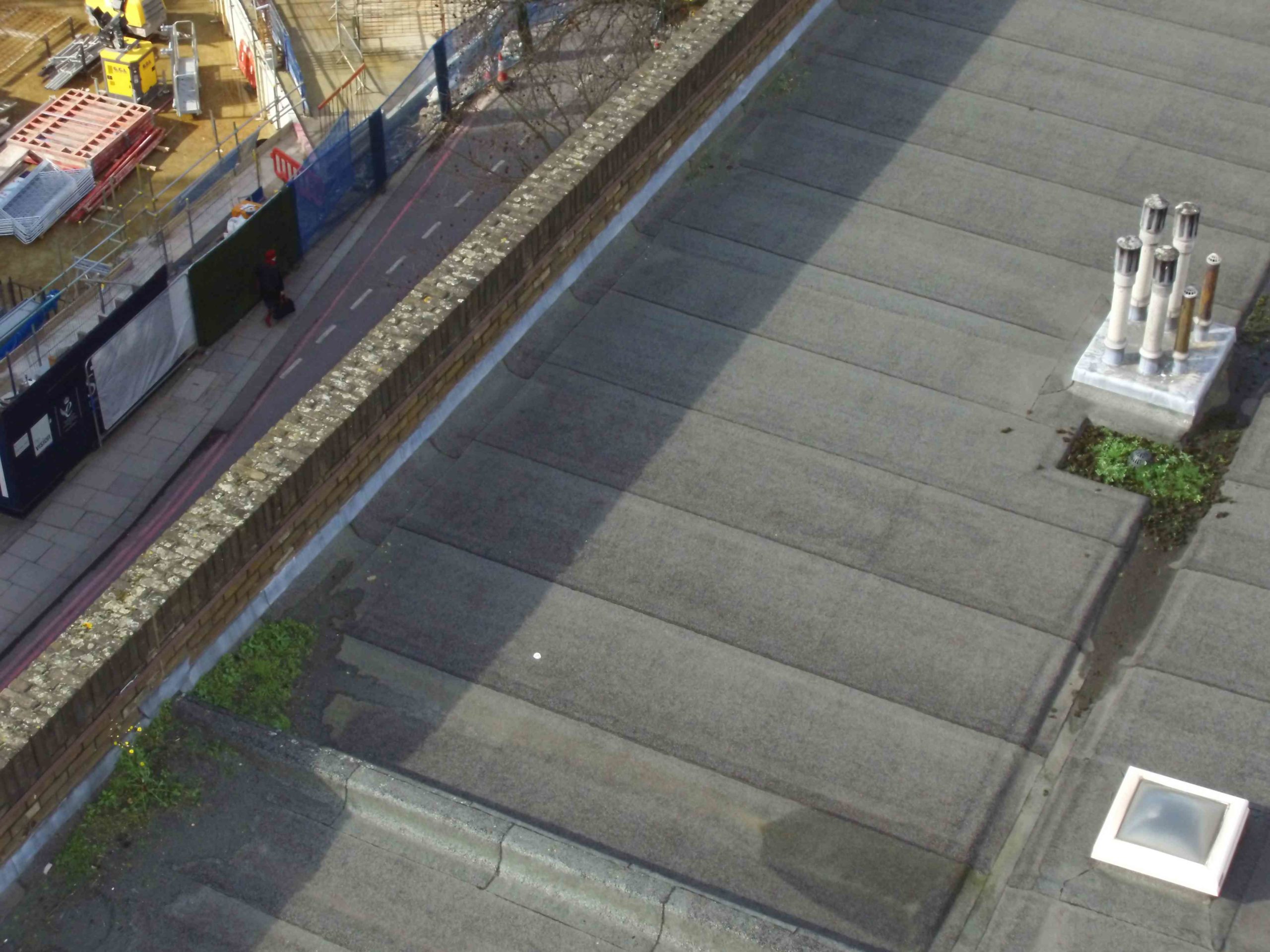
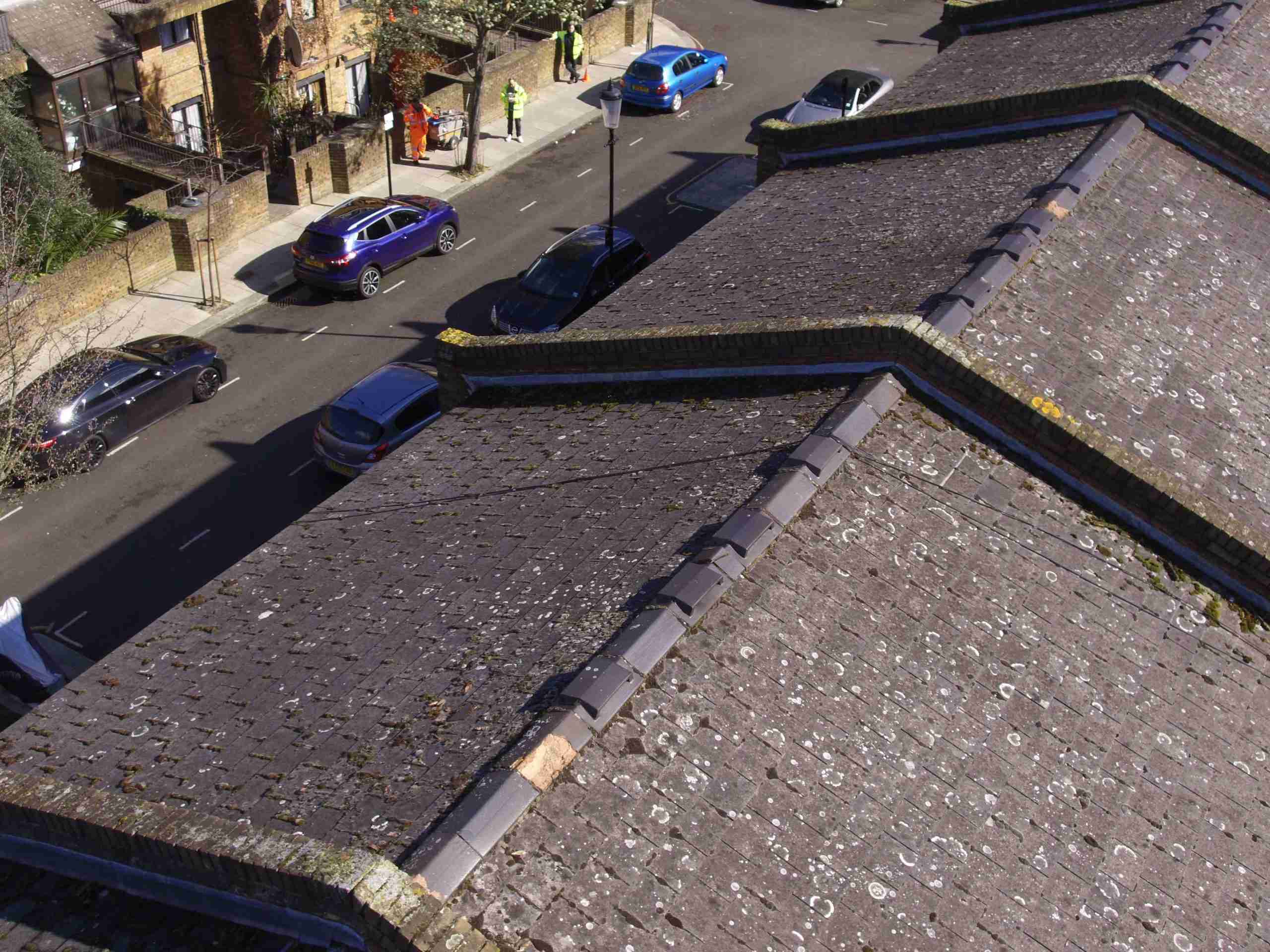
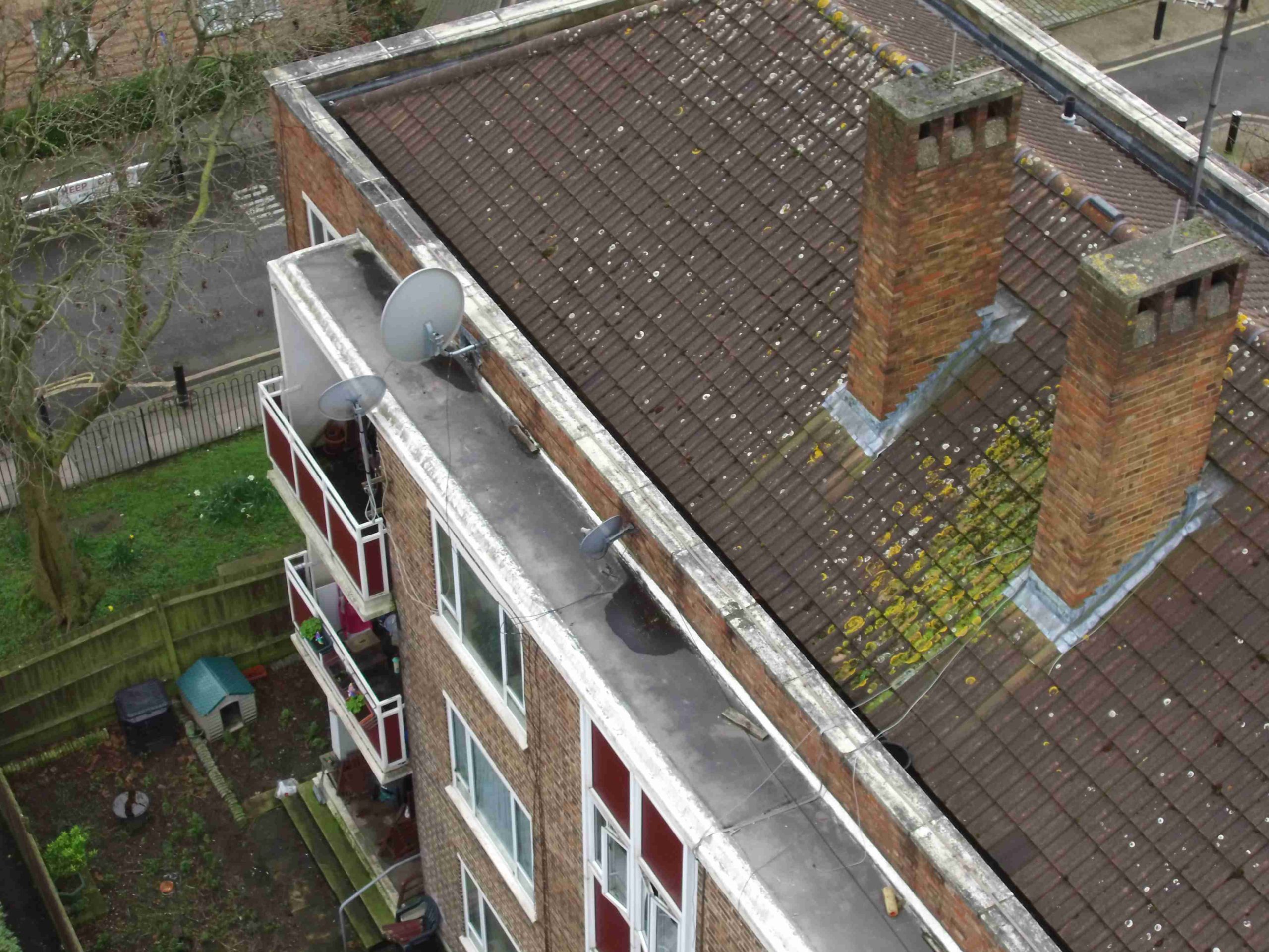
PHOTOGRAPHIC DATA
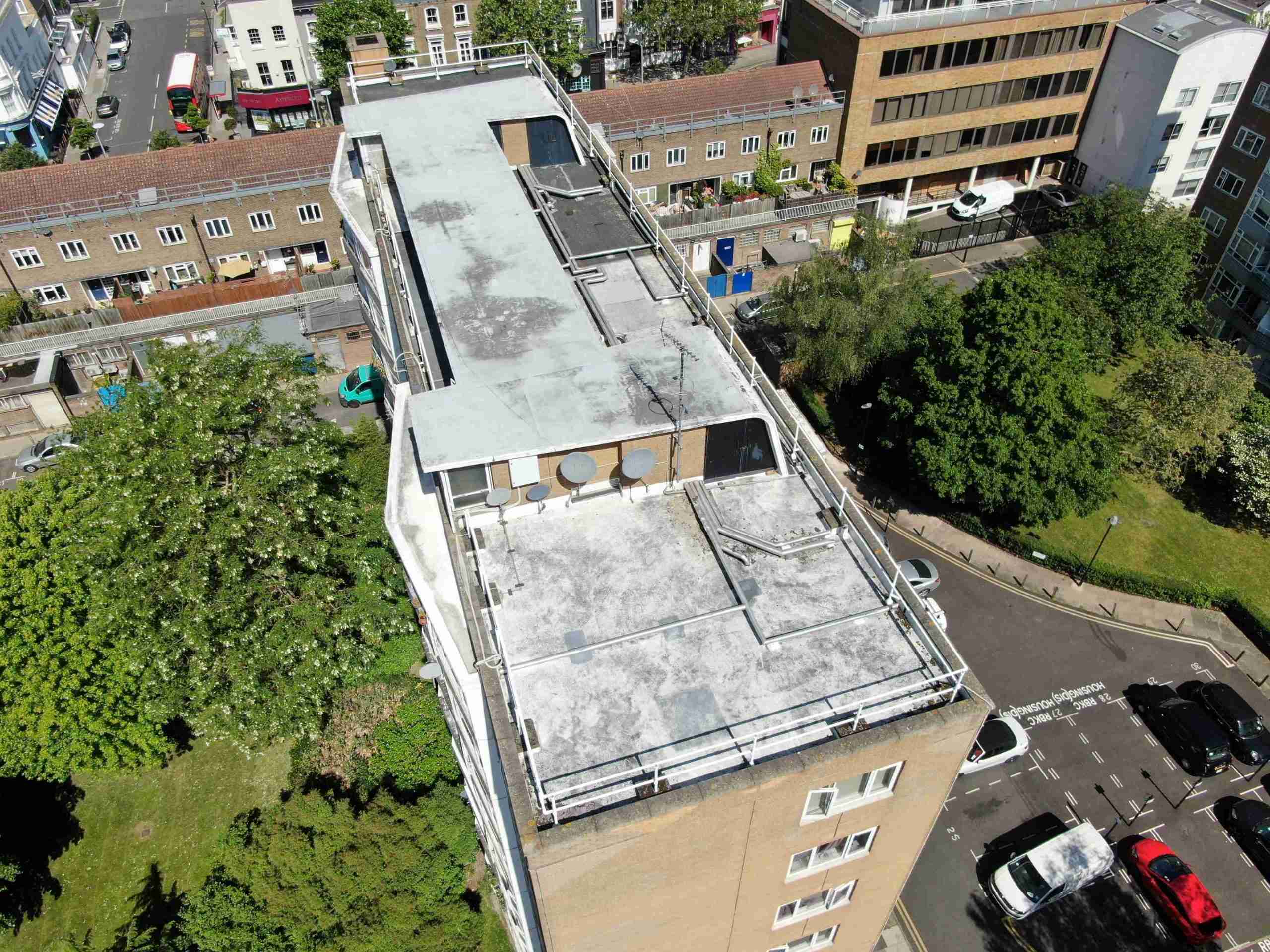
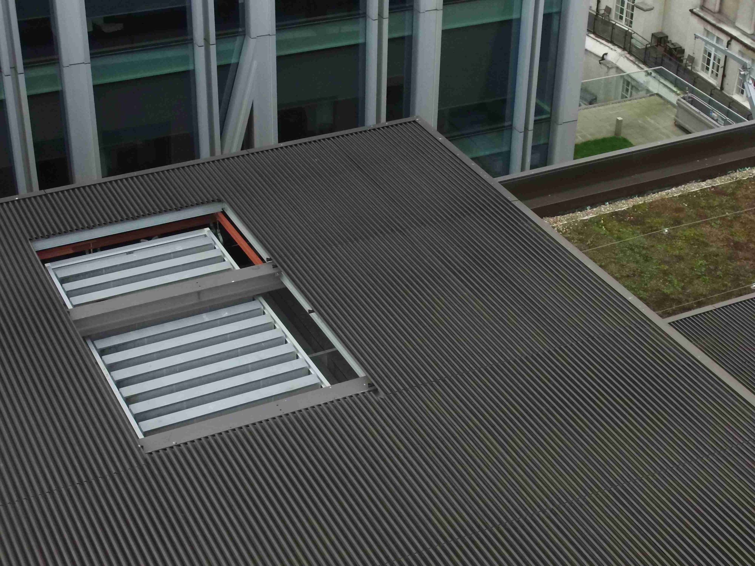
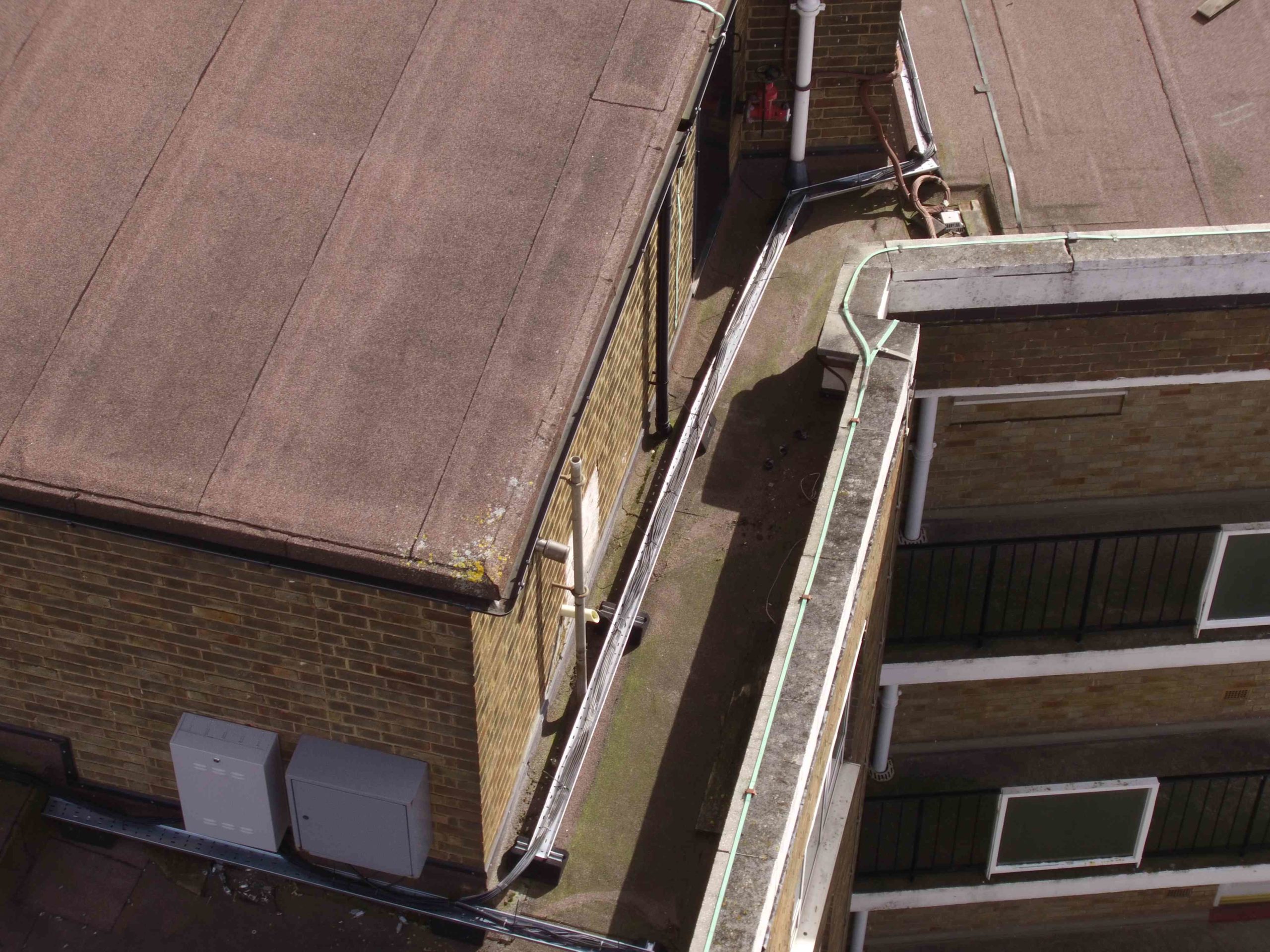
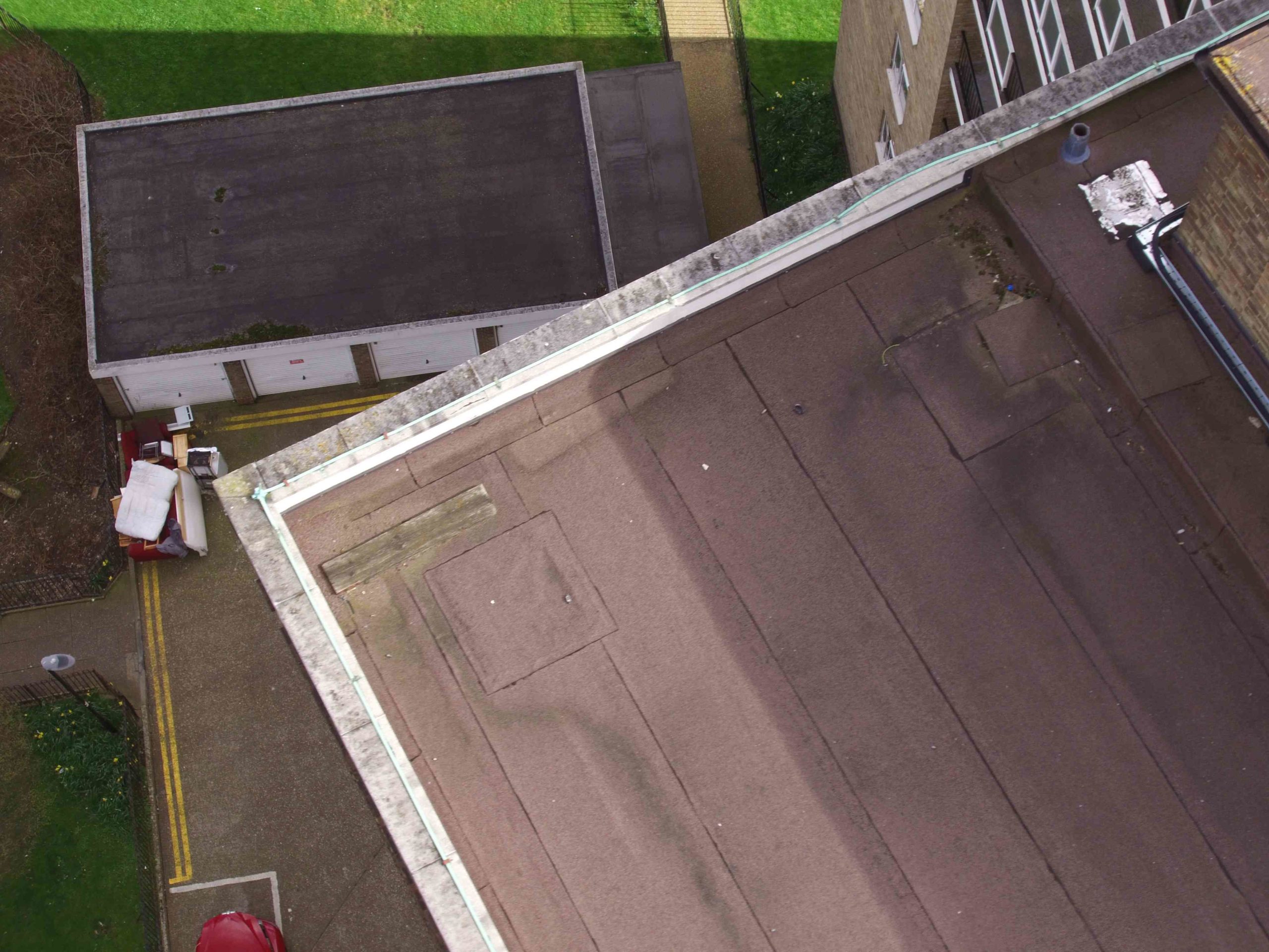
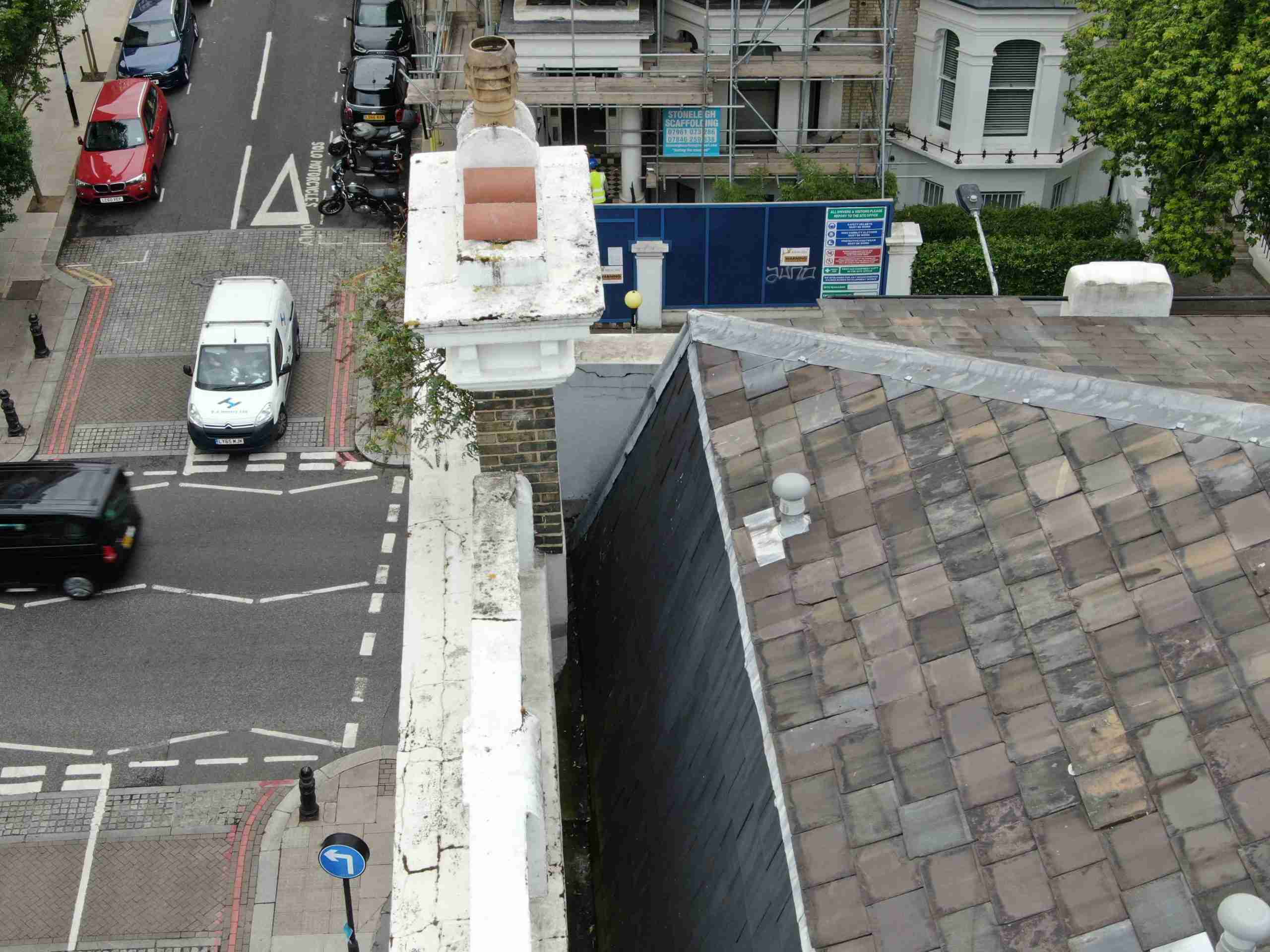
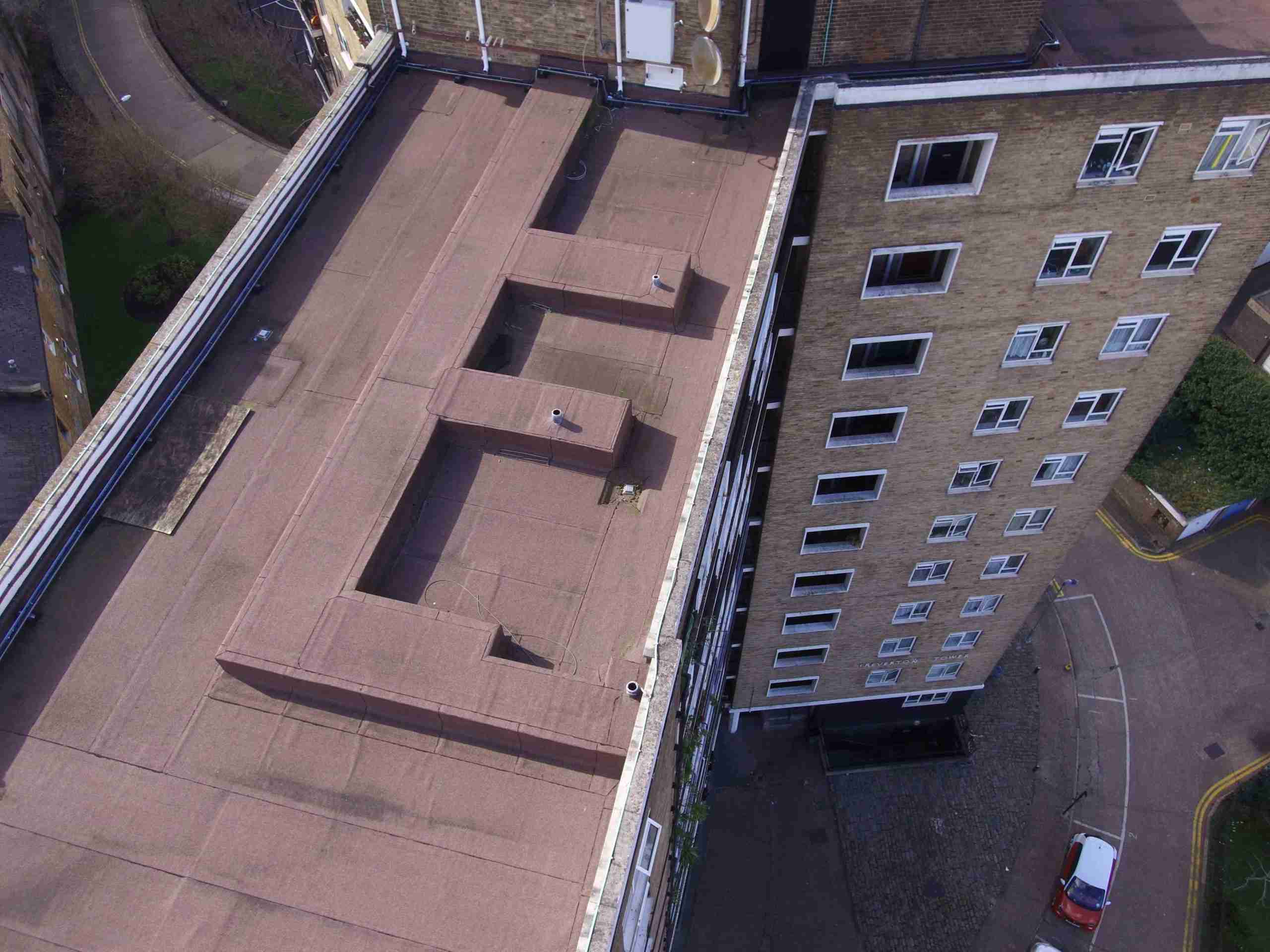
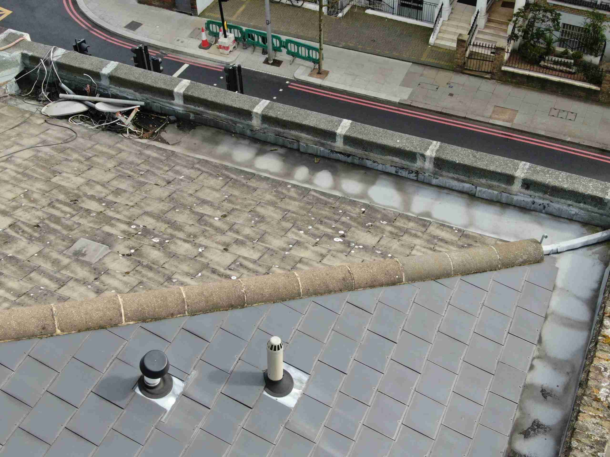
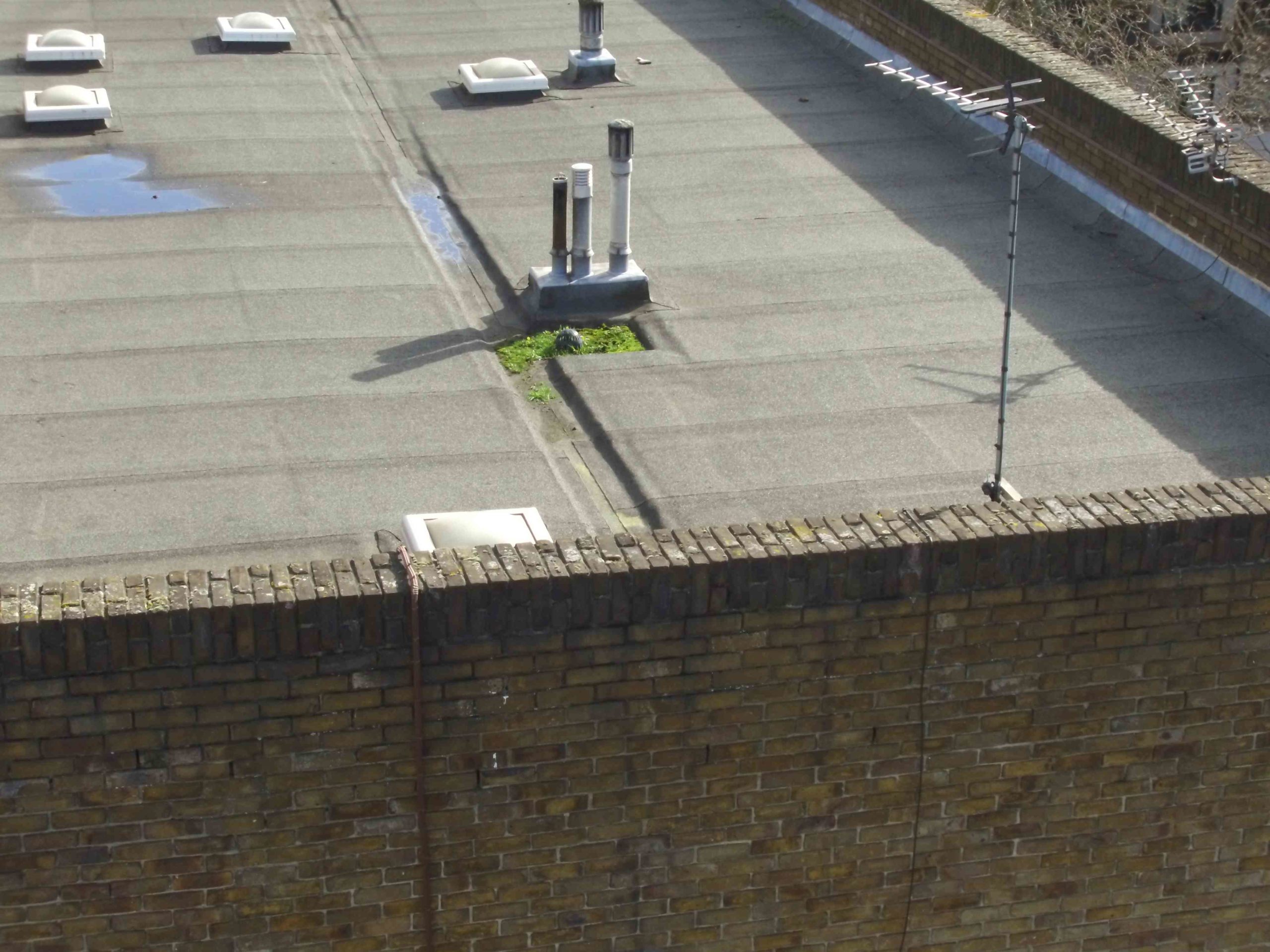
We capture as standard 12MP photos, however these can also be up to 40MP depending on your requirements and photographic detail needed.
Capturing thermal data with drones provides valuable insights into material performance and efficiency. This technology benefits both professionals and homeowners by revealing: Heat loss in buildings Moisture intrusion and damage Electrical system hotspots Roof integrity issues Solar panel efficiency HVAC system performance
Thermal imaging allows for non-invasive inspection of otherwise inaccessible areas, enabling preventative maintenance and energy optimisation while reducing diagnostic time and costs.