
What are drones, and what are some of their uses? Will drones replace surveyors, and how can surveyors utilise UAV surveys efficiently in their business?
Drones, or ‘Unmanned Aerial Vehicles’, are pieces of equipment that can be remotely piloted from the ground. They can also fly autonomously using a pre-planned flight. Drones work in conjunction with GPS to provide geographical information about a site.
Originally designed for use in the military, drones have transitioned more into mainstream use over recent years. Their initial purpose was for gathering intelligence and anti-aircraft target practice. Businesses and individuals across the world use drones for a wide range of tasks.
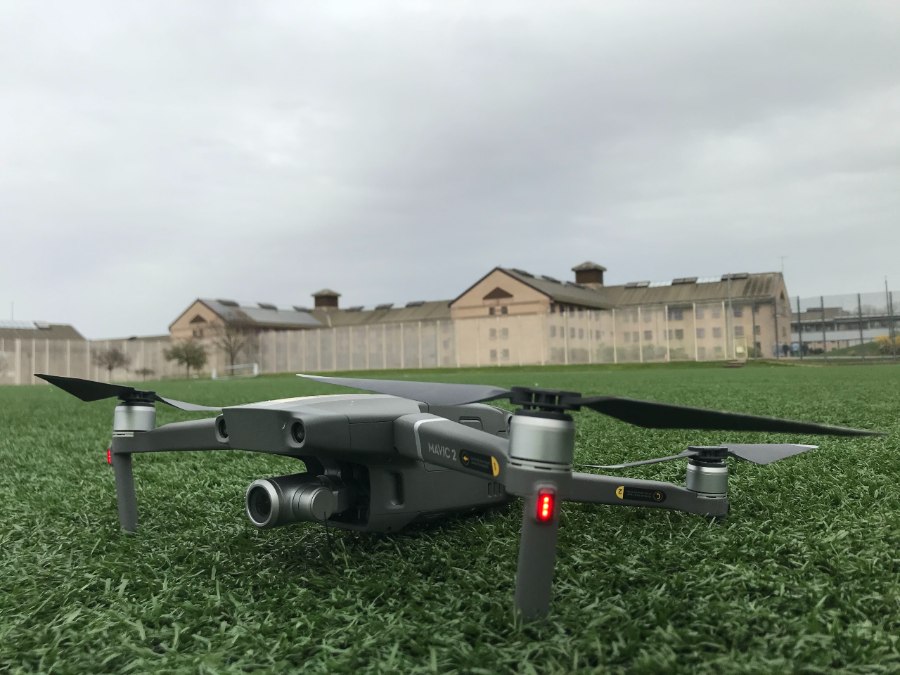
A battery or a fuel source is typically used to power a drone, and they can be single or multi-rotor. Surveyors most commonly use quadcopter drones (four rotor blades) to carry out a UAV survey.
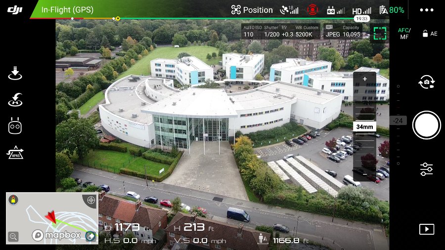
Drones have many uses other than the military ones they were designed for. They provide significant value to drone surveyor companies, who can conduct site and property surveys using one. High quality camera equipment and GPS tracking software on a drone can be used to establish an accurate model of a site, big or small.
In addition to a site UAV survey, businesses use drones for roof, chimney and guttering inspections and surveillance. Their ability to capture high-detail photos and videos makes them a valuable tool for any sort of site inspection. Increasingly, roofing companies are beginning to offer roof inspections as a preventative measure against damage, rather than once a problem has already occurred.
Letting and estate agents also value drone surveys because they provide buyers (and sellers) with an accurate picture of the condition of the property. A UAV survey can identify cracks and signs of damp in external walls. It can also provide an overhead view of the property in the event of a dispute about land.
Letting and estate agents also benefit from the use of drones for providing high-quality aerial photos for marketing purposes. Drones can capture an image of a property in its setting, which is a difficult task from the ground.
In addition to these uses, businesses use drones in search and rescue operations, providing footage of events such as weddings and festivals, agricultural maintenance, delivery services, in TV, film and advertising, and for wildlife conservation.
Drones are a great tool for surveyors. They’re a cost-effective alternative to traditional methods of surveying, and they typically provide a safer way to conduct surveys. Drones do not require the use of ladders or scaffolding, which reduces the likelihood of workplace accidents.
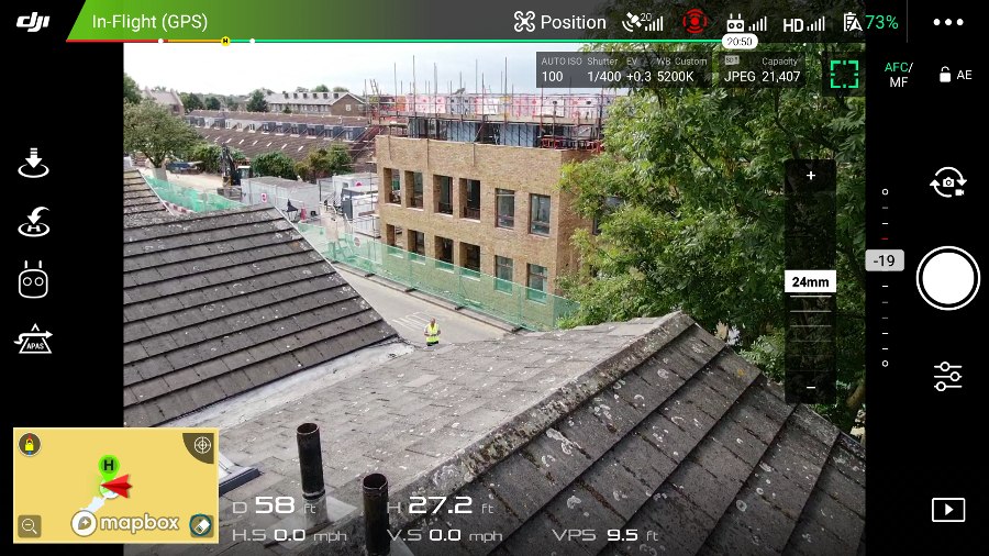
An aerial UAV survey collects accurate photographic and topographic information about a site. This is used to make site models in real time. They’re typically quick to conduct, and require little man-power to carry out because most of the preparation happens in advance.
Another significant advantage of using drones over traditional methods is that they are unobtrusive and can be used to access hard-to-reach locations. Drones examine fragile buildings without intrusion or risk of collapse. They inspect areas that cannot be reached on foot from the air.
The short answer to the question: 'will drones replace surveyors?' is no. While drones are an invaluable tool to the surveying industry, surveyors use them most efficiently when in conjunction with traditional methods. There are some cases where a drone just won’t cut it.
Firstly, drones are limited with what they can survey if the site if the visibility is poor. If the site is covered with trees that obscure the view of what is beneath them, it can be quite difficult to get an accurate picture of what the site looks like.
In addition to this, drones can be expensive. Most business opt to hire a drone rather than buy one, because of the initial investment required. There are various costs that come with training pilots and complying with licensing and regulation in the UK.
Many surveyor businesses are hesitant to jump on the drone bandwagon because of the strict regulations. Drone operators have restrictions in how close they can fly to people. Often, special permission is needed from the CAA to carry out a site UAV survey near other buildings and people. Commercial drone operators need a flyer and operator ID, and have completed some training, to ensure that they are a competent flyer.
There’s no question about it, drones can significantly speed up the process of taking a site survey, and can mitigate the risk involved too. They’re invaluable for reaching those inaccessible areas, and are cost-effective.
However, they are excellent in conjunction with existing methods of site surveying, rather than as a replacement.
HeliDrone Surveys conducts site surveys and inspections on behalf of their clients, and can produce accurate 2D and 3D models of sites and buildings. Get in touch to find out more.
