
When a property management company in Herne Hill contacted us and required a detailed assessment of this mixed commercial and residential building showing signs of deterioration, they turned to HeliDrone Surveys for our professional Drone Survey London services.
This case study demonstrates how UAS technology revolutionises building inspections in urban environments like SE24, delivering critical data that would be challenging, dangerous, and costly to obtain through traditional methods.
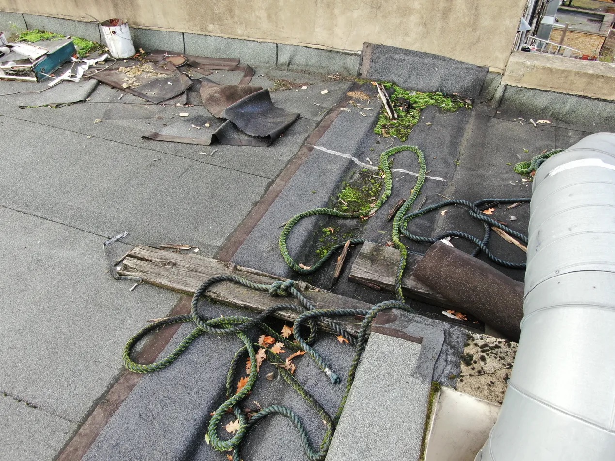
The aerial overview immediately identified several areas of concern across the building complex, demonstrating the efficiency of drone survey technology in providing comprehensive property assessment.
The property consisted of several interconnected commercial and residential buildings in Herne Hill, SE24, each presenting unique inspection challenges. Traditional scaffolding or ladder access would have required significant investment, road closures, and posed considerable health and safety risks. The client needed comprehensive images of:
Our certified drone pilots deployed high-resolution UAS technology to conduct a thorough aerial inspection of this property. The Drone Survey London approach provided access to all roof levels, capturing detailed imagery that revealed critical maintenance issues invisible from ground level. We took many shots from various angles to demonstrate the condition of the roof.
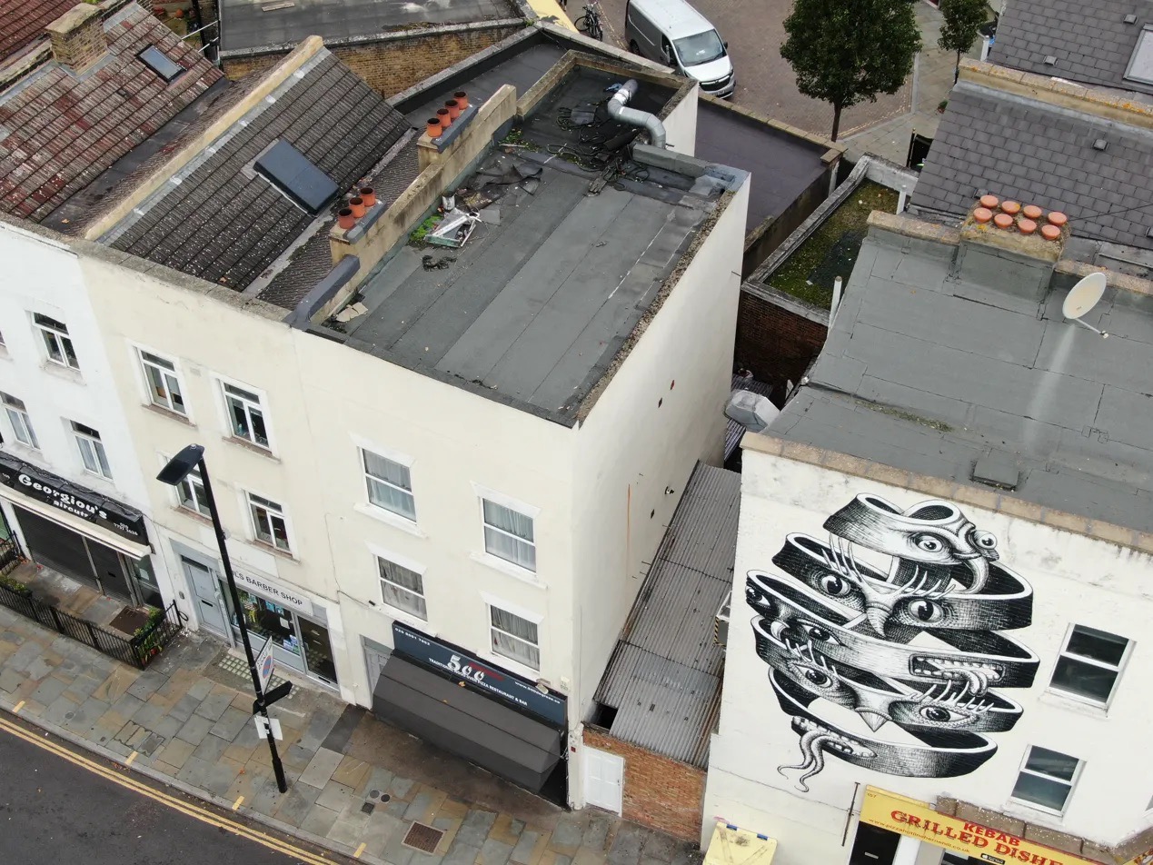
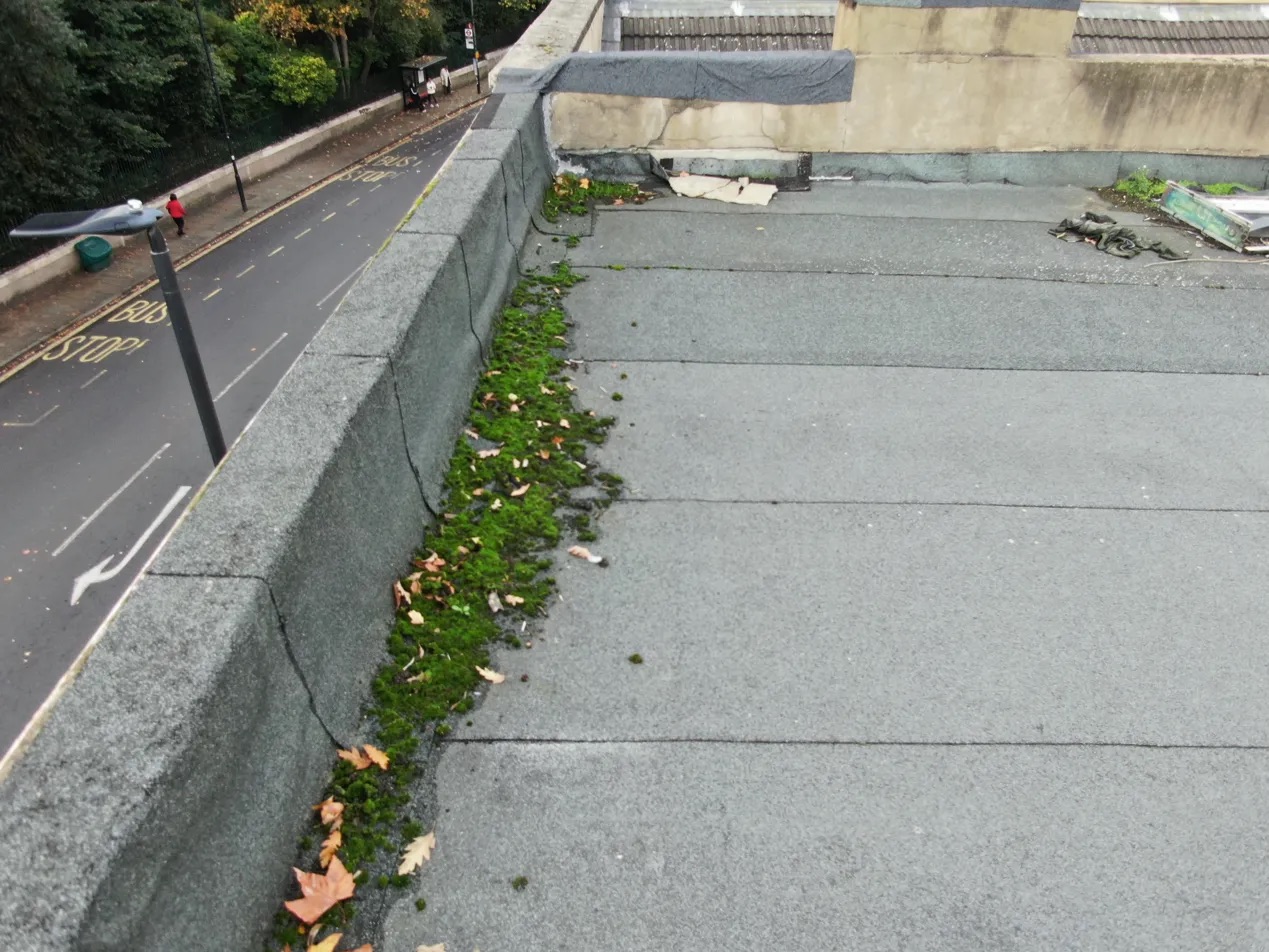
This expansive shot from our Drone Survey London in Herne Hill, SE24, illustrates the overall condition of the property's exterior, including facades, boundaries, and roofline. RICS surveyors can utilise such views for initial assessments, identifying potential structural issues, vegetation encroachment, or general maintenance needs across the entire building envelope, providing an understanding without intrusive site access.
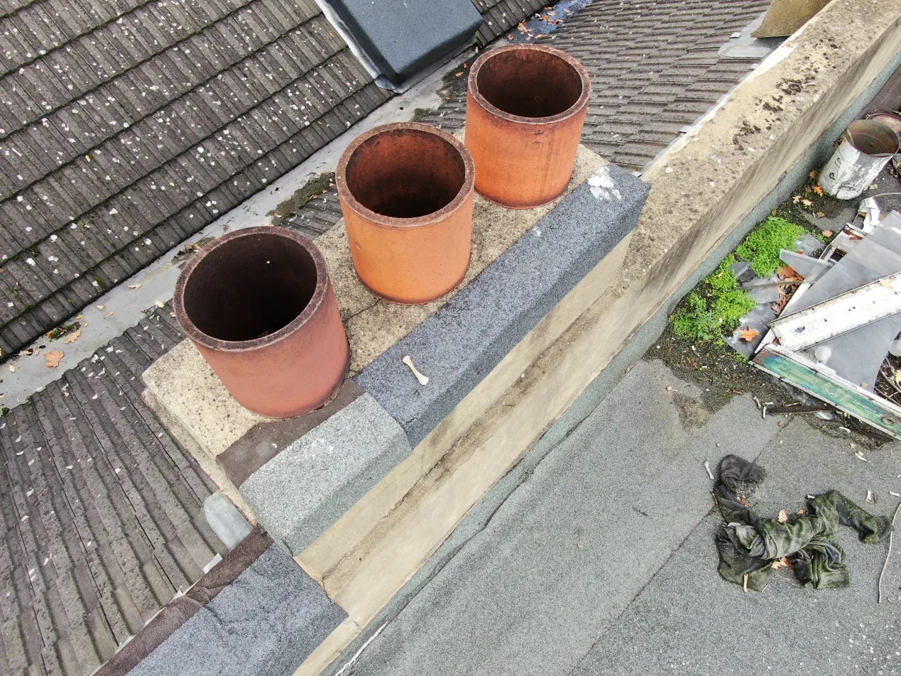
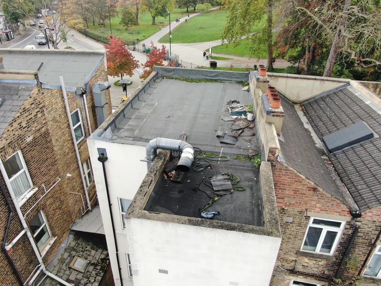
A view of the chimney stack and its flashing, common points of water ingress. Surveyors can analyse the condition of mortar, brickwork, and flashing seals from the safety of the ground, significantly reducing risk and inspection time.
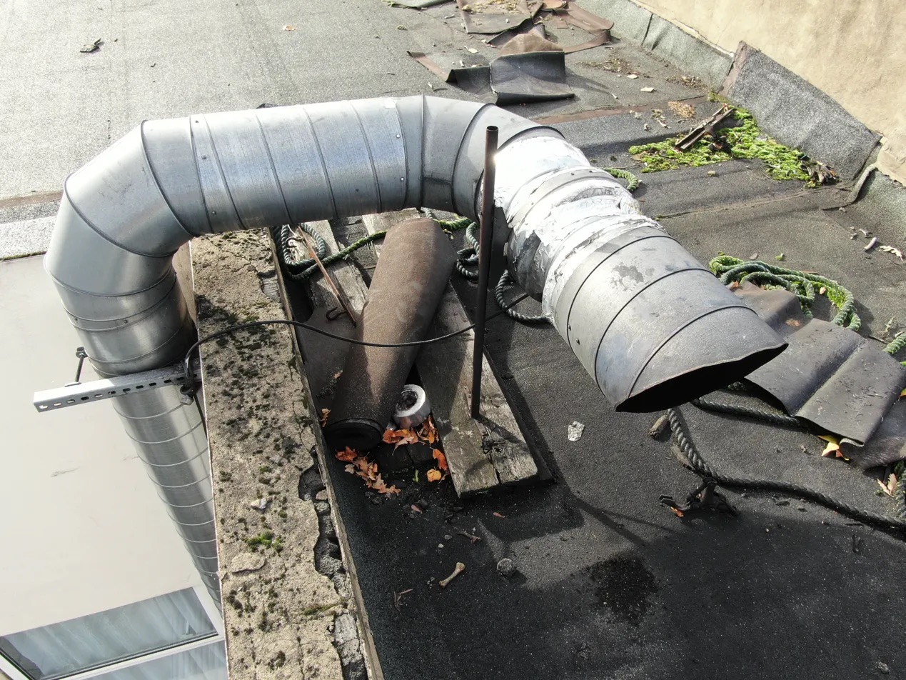
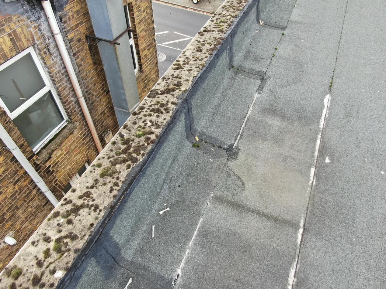
Tis image precisely illustrates the condition of roof valleys and junctions—areas prone to debris accumulation and water penetration. The clarity of the image allows for a detailed assessment of these critical zones, aiding in early detection of issues and preventing costly repairs.
Traditional roof inspections in Herne Hill would require scaffolding, safety harnesses, and significant risk exposure. Our Drone Survey London approach eliminated all personnel safety risks while delivering superior data quality.
The complete survey was completed in under 4 hours, compared to the 2-3 days required for traditional scaffolding-based inspection. This efficiency translated to significant cost savings for the client.
High-resolution imagery and 4K video footage provided detailed evidence for insurance claims, maintenance planning, and regulatory compliance - data quality impossible to achieve through ground-based inspection.
Survey data was processed and delivered same day, enabling immediate decision-making for urgent repairs and maintenance scheduling.
For property professionals in London, this case study demonstrates several critical advantages:
Our Herne Hill survey utilized:
This case study demonstrates why Drone Survey London technology is becoming the preferred choice for property professionals. The combination of safety, efficiency, cost-effectiveness, and data quality makes drone surveys an essential tool for modern building assessment. Check out a customer testimonial about a mother oof case study.
For RICS surveyors, building inspectors, and property managers seeking comprehensive, safe, and cost-effective inspection solutions, HeliDrone Surveys provides industry-leading Drone Survey London services that deliver actionable intelligence for informed decision-making.
Contact our team today to discuss how professional drone survey technology can enhance your next property assessment project in London.
